Visit Eatonton, Georgia! Explore local attractions, events, and get the latest tourism updates.
Ignite Your Adventure
Whether you’re drawn to the shade of century-old oaks or the rugged paths of a prehistoric landscape, Middle Georgia offers a playground for explorers on two wheels. Visit Eatonton has curated the ultimate guide to our most storied landmarks and outdoor escapes through the Trails-A-Blazin’ Self-Guided Bike Tour. Discover why this pedal-powered quest has become a must-do for curious travelers and local adventure-seekers looking to unlock the secrets of our backyard.
What is Trails-A-Blazin'?
Trails-A-Blazin’ is a collection of five distinct cycling routes designed to showcase the two “worlds” of Eatonton: our vibrant, historic town center and the untamed trails of the Rock Hawk Effigy. From the 0.44-mile downtown to the technical terrain of the 30-mile Rock Hawk network, this program offers a diverse range of paths. This variety ensures that every cyclist, from families with young children to experienced mountain bikers, can find a route that fits their rhythm.
Participating in the Trails-A-Blazin’ Self-Guided Bike Tour is as easy as pedaling. Follow these three steps to complete the challenge and earn your souvenir.
1. Visit the Welcome Center
Your adventure begins at the Visit Eatonton Welcome Center located at 108 W Marion Street. Our team will help you gear up for your journey.
Rent Your Ride: Choose between a Half-Day (4 hours) for $10 or a Full-Day (8 hours) for $15.
The Essentials: Every rental includes a helmet and a complimentary water bottle to keep you safe and hydrated.
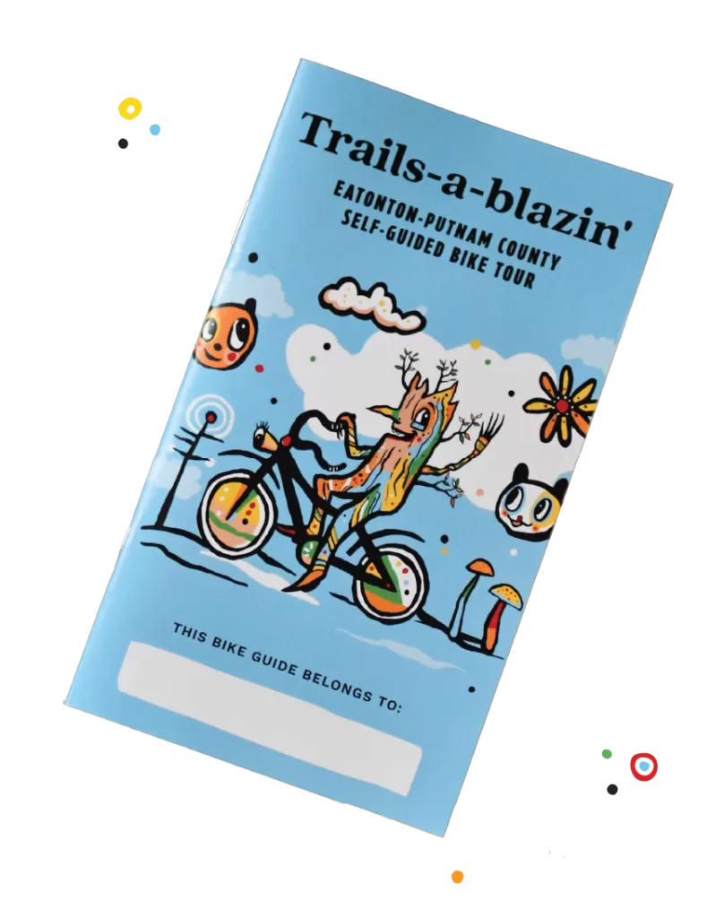
Grab Your Guide: Pick up your physical bike guide!
2. Blaze Your Trail (And Don't Forget the Proof!)
Choose any of our five designated routes. As you explore, look for the perfect backdrop—whether it’s a 19th-century mansion or the ancient stone effigy.
The Photo Challenge: To claim your prize, you must take a photo of yourself on the trail! Whether it’s a selfie at a historic marker or an action shot in the woods, we want to see your adventure in action.
3. claim your commemorative pin
Once you’ve finished your ride, return to the Welcome Center. Show our staff your trail photo to receive your limited-edition Trails-A-Blazin’ commemorative pin. It’s the ultimate keepsake for the modern explorer.